

MAGNET COLLAGE
A 3D SOFTWARE ENVIRONMENT TO COMBINE DATA SETS FROM MULTIPLE MASS DATA SENSORS
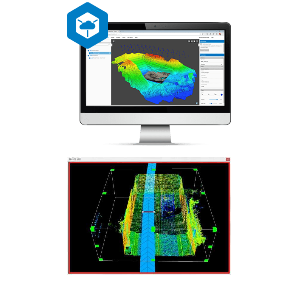
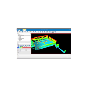
MAGNET Collage provides data processing of otherwise disparate data sets into one 3D environment that can accommodate laser scanner, mobile scanning and mapping, road resurfacing scanners, and photogrammetric point clouds. To further simplify the combination of data, geographic coordinate points from ground control and surveying control can be leveraged for easy matching of point clouds.
A 3D SOFTWARE ENVIRONMENT TO COMBINE DATA SETS FROM MULTIPLE MASS DATA SENSORS
MAGNET Collage provides data processing of otherwise disparate data sets into one 3D environment that can accommodate laser scanner, mobile scanning and mapping, road resurfacing scanners, and photogrammetric point clouds. To further simplify the combination of data, geographic coordinate points from ground control and surveying control can be leveraged for easy matching of point clouds.
- Combine Mobile and Static scan data into one immersive 3D environment.
- Faster point cloud processing and mass data handling
- Combine Civil, Mapping, BIM, and survey data
- Advanced matching and ground control functionality for a variety of sensors
- Extensive projections and geoids exports
- Segment and reduce point clouds to facilitate import into third-party software
- All in one mass data processing software
MAGNET Collage is perfect for:
Design & Take-Off
Mapping
Reviews
There are no reviews yet.