


MAGNET FIELD
FULL FIELD CONNECTIVITY
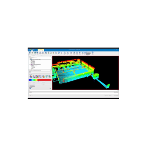
MAGNET Field is a powerful and intuitive field application software that enables you to collect survey mapping data and perform construction and road layout using total stations, levels, and GNSS receivers.
MAGNET Field is easy to use. Perform topographic and layout operations with a supportive Microsoft Bing Maps satellite image background. Carry your custom CAD standards to the field with a single screen tap; the software will instantly draw three dimensional linework and symbols.
Discover MAGNET Field features and benefits.
FULL FIELD CONNECTIVITY
MAGNET Field is a powerful and intuitive field application software that enables you to collect survey mapping data and perform construction and road layout using total stations, levels, and GNSS receivers.
MAGNET Field is easy to use. Perform topographic and layout operations with a supportive Microsoft Bing Maps satellite image background. Carry your custom CAD standards to the field with a single screen tap; the software will instantly draw three dimensional linework and symbols.
Discover MAGNET Field features and benefits.
- Intuitive user interface
- Advanced roading tool set
- Vast library of Import / Export file formats
- Calculate, contour, and compare surfaces
- Surface staking with automatic Digital Terrain Model creation
- Colorized cut and fill indicators, as well as volume calculations
- Direct connectivity to your private Company Account for easy data exchange and quick chat
- Microsoft Bing Maps® for real-time images behind your points, lines, and imported design files
MAGNET Field is perfect for:
Land Surveying
Topography & As-Built
Civil Engineering & Design
Construction Survey/Layout
Utilities
Forensics


Reviews
There are no reviews yet.