
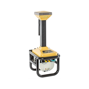
IP-S3
COMPACT, HIGH DENSITY 3D MOBILE MAPPING SYSTEM
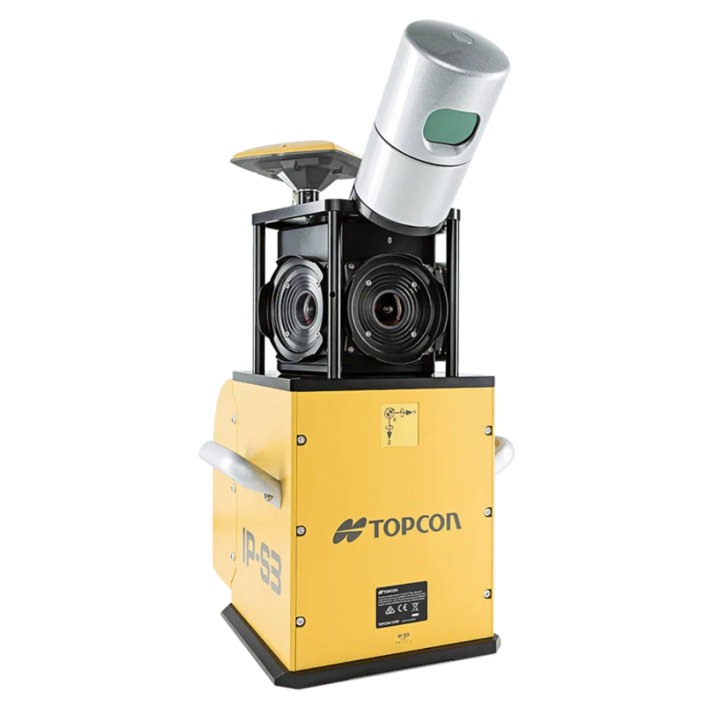
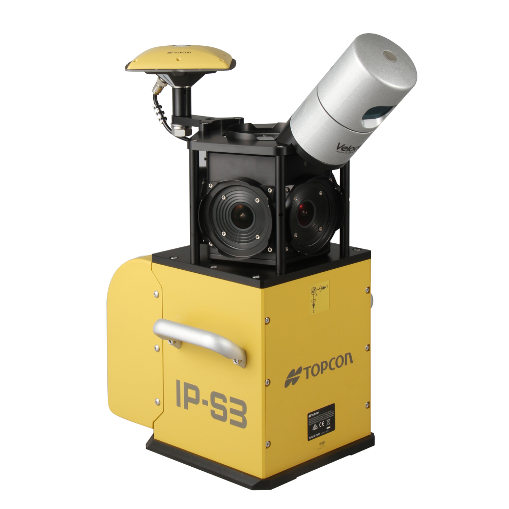
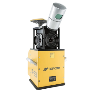
The IP-S3 mobile mapping system offers high density, high precision, point clouds combined with high resolution panoramas from a system that is smaller, lighter and easier to handle.
IP-S3’s positioning system is an integration of an Inertial Measurement Unit (IMU), GNSS receiver (GPS and GLONASS) and a vehicle odometer. It provides precise positioning and attitude in a dynamic environment.
COMPACT, HIGH DENSITY 3D MOBILE MAPPING SYSTEM
The IP-S3 mobile mapping system offers high density, high precision, point clouds combined with high resolution panoramas from a system that is smaller, lighter and easier to handle.
IP-S3’s positioning system is an integration of an Inertial Measurement Unit (IMU), GNSS receiver (GPS and GLONASS) and a vehicle odometer. It provides precise positioning and attitude in a dynamic environment.
The rotating LiDAR sensor captures the environment with a rate of 700,000 pulses per second. During each rotation, the 32 internal lasers cover the full 360 degrees around the system, each from a slightly different viewing angle. This minimizes gaps in the point cloud which arise from obstacles or dead-angles and removes the need to install multiple scanners.
IP-S3’s six-lens digital camera system provides 360 degree high resolution spherical images that allow for easy feature recognition.
Mobile Master Office software handles all post processing trajectories and geo-referencing scans and images.
- Integrated turnkey solution
- Ultra compact design
- Multiple lasers minimize scanning shades
- Unparalleled ease of use
- Factory calibrated
- Full integration of cloud and images
IP-S3 is perfect for:
Civil Engineering & Design
Mapping
Utilities
Mining
Forestry


Reviews
There are no reviews yet.